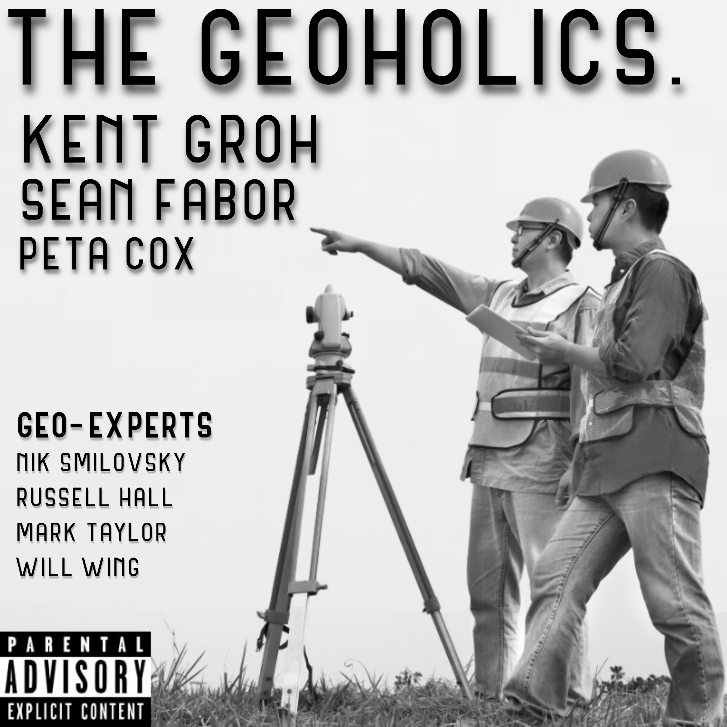
The Geoholics is an industry-room conversation for people who live around surveying, mapping, lidar, drones, GIS, geomatics, and civil infrastructure. It is not a polished lecture series. It sounds like colleagues catching up after a long event, then turning toward the work with enough experience to know where the hard parts hide. Recent episodes lean into GeoWeek energy, sponsor updates, conference calendars, and the network of companies and practitioners around the show. Then the technical conversations take over. Matt Nugent’s episode works through product leadership, automation, sensor operators, and the need for human override when robots and cameras make decisions in the field. Ted Knaak’s conversation around TopoDOT Solutions gets into mobile scanning, trajectory validation, process checks, and data governance. Gordon Perry, PLS brings the scale and complexity of underground Penn Station surveying into view, including track levels, transit agencies, and the problem of mapping hidden infrastructure beneath Madison Square Garden. ASPRS Gulf South Region brings standards, certification, licensing-board enforcement, and the difference between accuracy and precision into plain language. SmartDrone’s episode compares lidar and photogrammetry through jobs where processing time, vegetation returns, and volume calculations matter. Jenna Kent’s episode widens the frame into archaeology, pre-construction compliance, class one and class three surveys, prehistoric ceramic replication, and respect for history. The show moves quickly. It jokes, riffs on music, thanks partners, and closes with takeaways like listen to clients, understand the process, be flexible, stay curious, and get hands dirty. Under the looseness is a consistent professional ethic: tools are only valuable when they serve the mission, the project, and the public. The result is a geospatial show that feels close to the people actually doing the work.